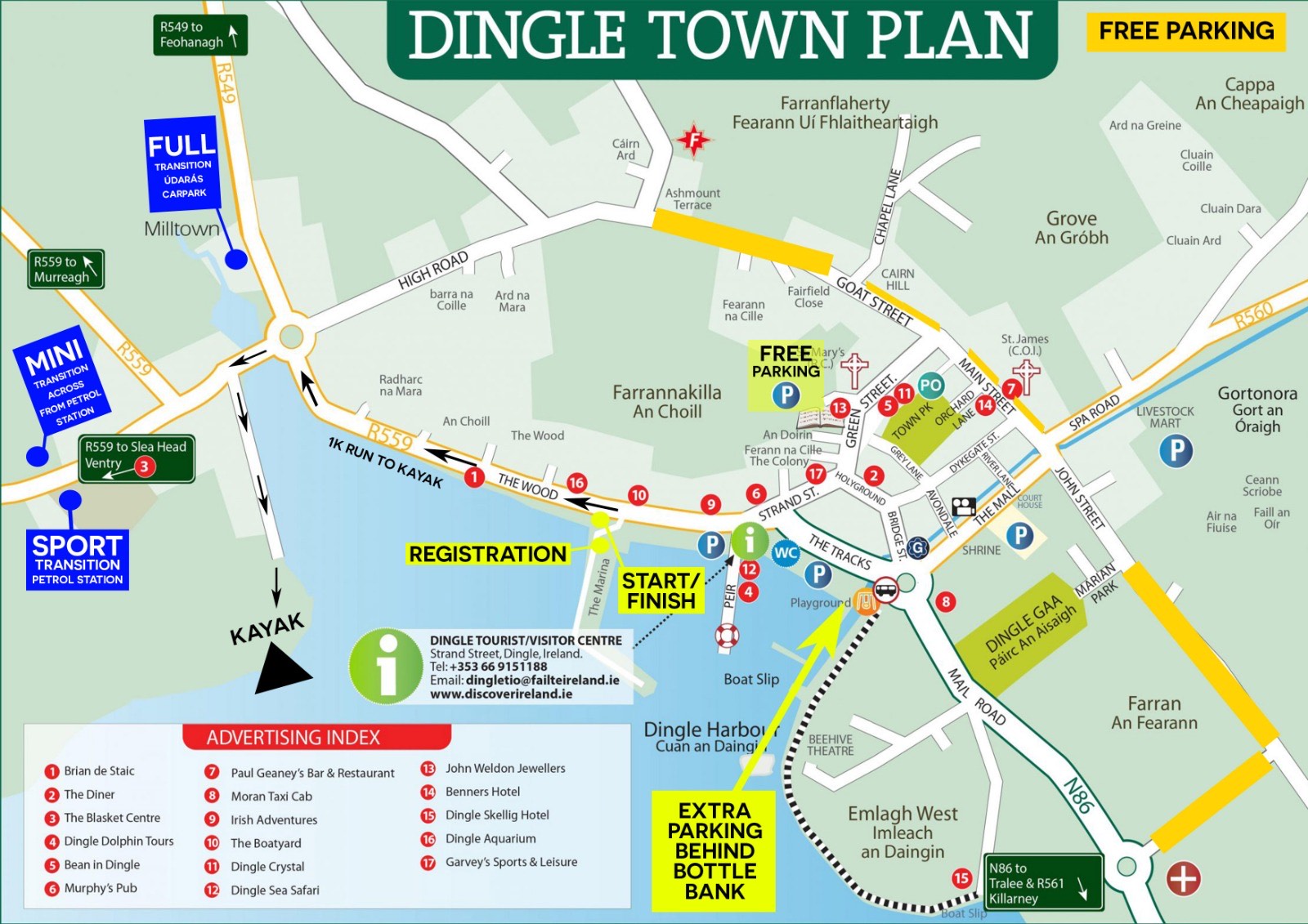
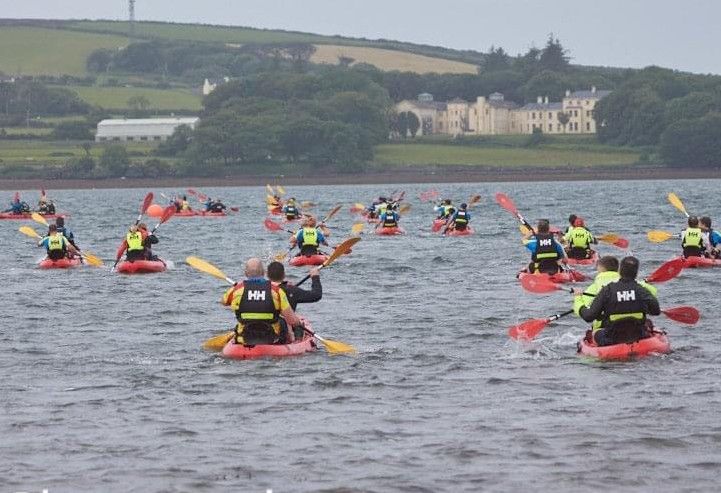
Dingle Adventure Race
SPORT RACE
-
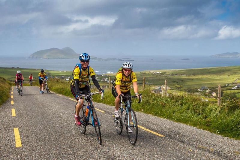
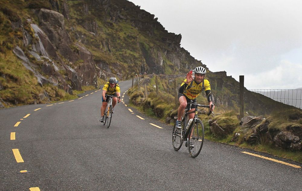
Cycle:21 kmHeight Gain: 310m Height Loss: 140m
-
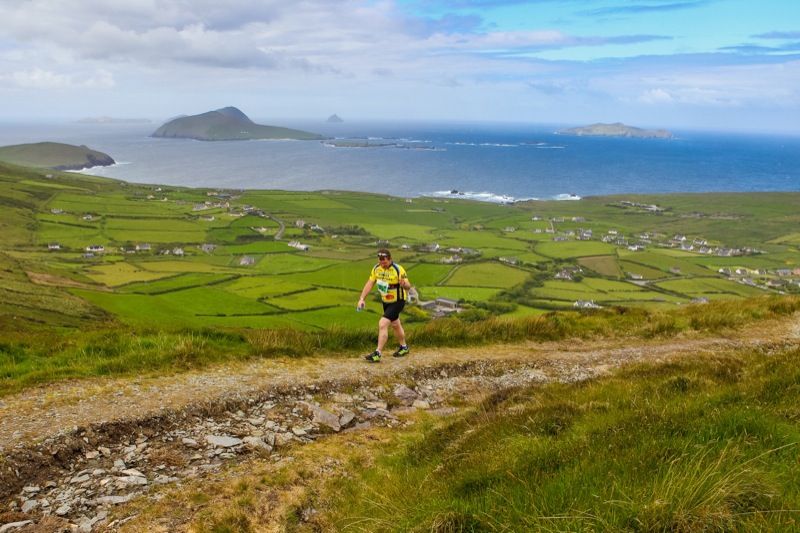
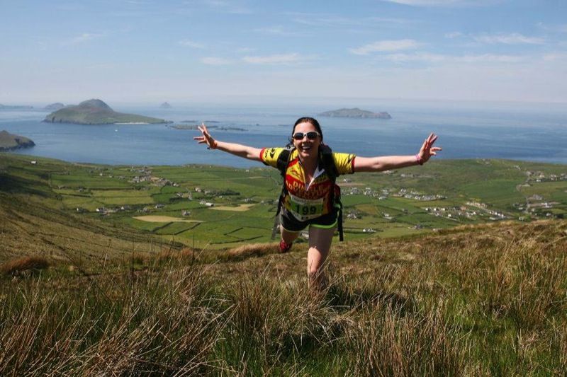
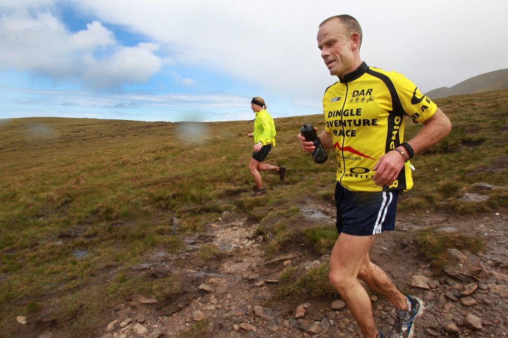
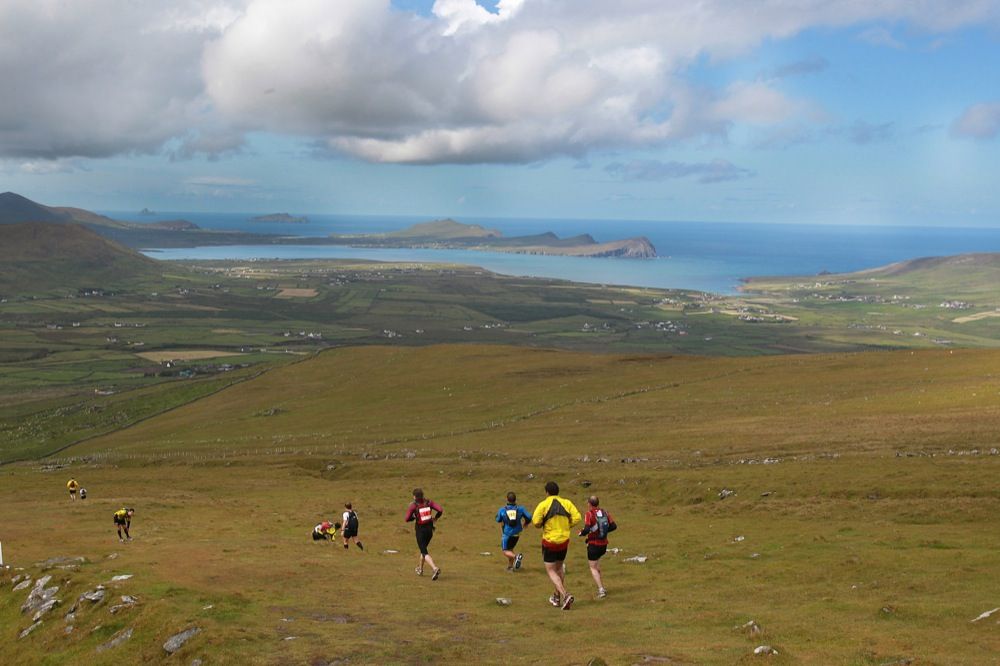
Run/Hike:7.5kmHeight Gain: 390m Height Loss: 390m
-
Cycle:11.5 kmHeight Gain: 100m Height Loss: 270m
-
Run:1 kmHeight Gain: 0m Height Loss: 0m
-
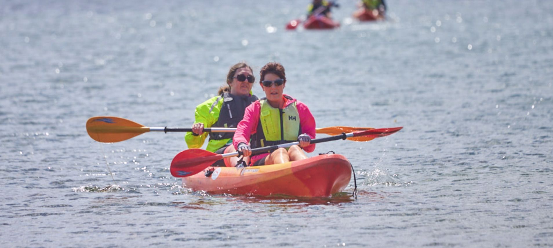
Kayak:1 kmHeight Gain: 0m Height Loss: 0m
-
Run:1.5 kmHeight Gain: 0m Height Loss: 0m
Total: 43 km
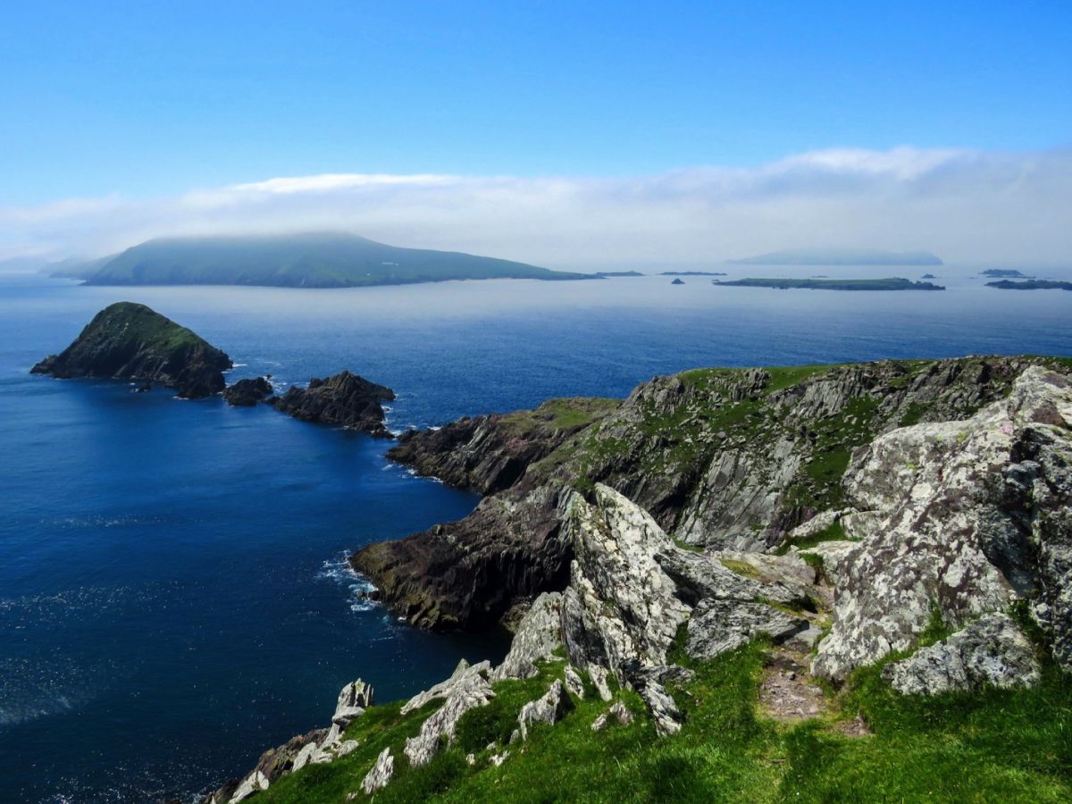
DAR Sport takes a spectacular route around the western point of the Dingle Peninsula and Ireland. DAR Sport, 08.30 Start; Total Distance 43km with 800m total ascent.